
Projects
HiRISE Band Reconstruction and Data Processing
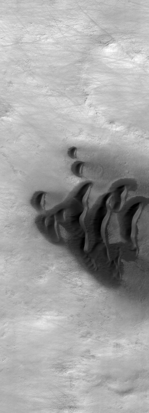
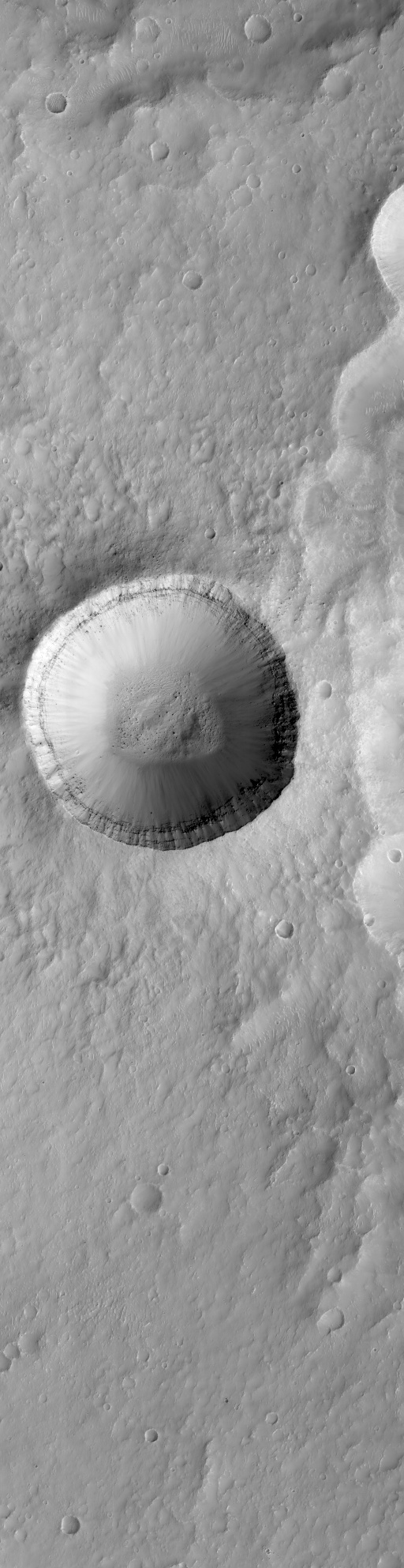
HiPredict is a deep learning and scientific data processing framework for reconstructing missing image data in high-resolution Martian imagery from the HiRISE instrument on Mars Reconnaissance Orbiter, motivated by the intermittent failure of the central RED4 detector since 2023.
- End-to-end workflows from raw IMG files through calibration, stitching, co-registration, and tiling.
- HiPredict was trained on over 40,000 images to reconstruct missing central-detector data in HiRISE observations.
- The model reduced per-pixel normalised mean absolute error by 71.21% relative to the SYN4 baseline and reduced mean bias from -0.205% to -0.005%.
Reinforcement Learning for Atmospheric Balloon Station Keeping
Imperial College Space Society project exploring reinforcement learning for atmospheric balloon station keeping, modelled on Google's stratospheric balloon initiative. I serve as AI Lead for the 2025-26 team.
- Developed a custom reinforcement learning environment for altitude-based control and long-duration station keeping.
- Built around atmospheric dynamics and weather-driven motion relevant to stratospheric balloon systems.
- Part of Project Stratus, an Imperial College Space Society effort to explore autonomous balloon navigation.
Supervised Water-Ice Detection on the Moon
MSc thesis project on predicting water-ice presence at the lunar poles using supervised learning and multimodal remote sensing data. The work combined Diviner, LOLA, M3, and Mini-RF products to score points across the polar surface, extending beyond permanently shadowed regions alone.
- Built a full data pipeline to decode, process, interpolate, and combine heterogeneous lunar datasets into ML-ready features.
- Developed a fully connected neural network for polar-scale water-ice scoring from multimodal orbital data.
- The resulting resource-potential maps showed strong precision (0.7979), while also identifying that only 57.8% of permanently shadowed terrain exhibited detectable ice signatures.